


QUICK BRIEF
What You Will Learn
- 01
Understand the landform as deposits created by gas, groundwater and mud rather than ordinary volcanic activity.
- 02
No official public viewing point, dedicated parking or visitor path is currently confirmed, so do not create an approach route.
- 03
Use the Local History Museum and official materials, and confirm the legally/publicly accessible area before any visit.
CONTENTSTable of Contents
- 01What are the Niikappu Mud Volcanoes? Key facts first.
- 02Why the Niikappu Mud Volcanoes are protected.
- 03How mud volcanoes form.
- 04Where are the mud volcanoes, and how should you confirm them?
- 05What to observe in the terrain if a safe public view is confirmed.
- 06Do not enter private land, mud mounds or restricted areas.
- 07Check weather, footing and the surrounding environment.
- 08Combine the visit with the Local History Museum.
- 09Build a stay around Niikappu’s natural heritage.
SECTIONWhat are the Niikappu Mud Volcanoes? Key facts first.
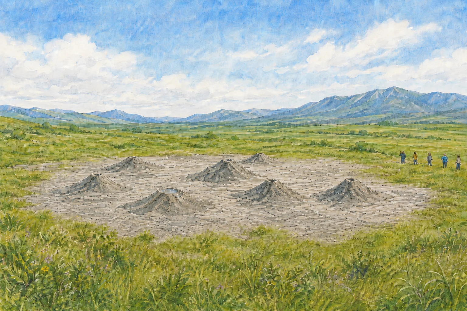
The Niikappu Mud Volcanoes are a Hokkaido-designated Natural Monument in Takae, Niikappu. Official cultural-heritage information describes eight mud mounds of different sizes spread over roughly 300 m east-west and 1,100 m north-south. Distinguish this correctly from a nationally designated or Special Natural Monument.
Despite the term “mud volcano,” the landform differs from an ordinary volcano made by lava or magma. Viewed as natural heritage that reveals Niikappu’s geology and the underground structure of an oil-field area, it becomes a gateway to regional geological history rather than simply an unusual landscape.
SECTIONWhy the Niikappu Mud Volcanoes are protected.
The value lies in multiple mud mounds remaining together and recording the activity of underground gas, water and mud. The scale and formation process in official material help us understand the whole area as one geological phenomenon rather than focusing only on an individual mound.
A Natural Monument is not a place where visitors may freely climb, collect mud or stones, or reshape the terrain. Avoid altering the land or entering private property. If management conditions cannot be confirmed, learn only through public exhibits and information available from public roads or facilities.
Photos alone make the size and continuity of the landform difficult to understand. Reviewing the protected-area description, geological diagrams and museum exhibits first helps clarify what you are trying to observe.
SECTIONHow mud volcanoes form.
The Niikappu Mud Volcanoes are explained as mud mounds formed when gas, groundwater and muddy sediment rose through cracks associated with an anticline fault in the oil-field area and accumulated at the surface. This is not a volcanic crater but a phenomenon created by underground pressure and geological structure.
Eruptive activity was observed during earthquakes in 1952 and 1982. This does not mean the mud volcanoes were born in 1952. Official heritage material is better read as saying that activity in pre-existing mounds drew attention during those earthquakes.
| Common misunderstanding | How official material describes it |
|---|---|
| A small ordinary volcano | A landform produced by gas, groundwater and mud discharge/deposition, not ordinary volcanic activity |
| It suddenly formed in 1952 | Activity was observed in already-existing mud mounds during the earthquake |
| One large mountain | Eight mud mounds of different sizes are distributed across a broad area |
SECTIONWhere are the mud volcanoes, and how should you confirm them?
The location is Takae, Niikappu, and official material says the area can be seen from around National Route 235. However, current public viewing points, private-property boundaries and the area in which visitors may approach the mounds cannot be determined from currently published primary sources. This guide therefore does not provide coordinates or an approach route.
If you are considering a visit, first ask Niikappu Town or the Niikappu Local History Museum whether there is a currently recommended public viewing method or area. If no clear answer is available, do not stop a car to search or enter side roads based on a map pin; switch to a museum-based learning plan.
When asking, confirm each item separately: the name of any current public viewing location, where parking is permitted, where pedestrians may walk, private-property boundaries and whether there are on-site signs. If any item remains unclear, do not build an approach plan.
SECTIONWhat to observe in the terrain if a safe public view is confirmed.
After reading the official explanation, view the landscape as several low mud mounds distributed across an area rather than searching for a single summit. Vegetation, land use and viewing direction can make the shapes hard to recognize, so do not assume the feature will always be visible or observable at close range.
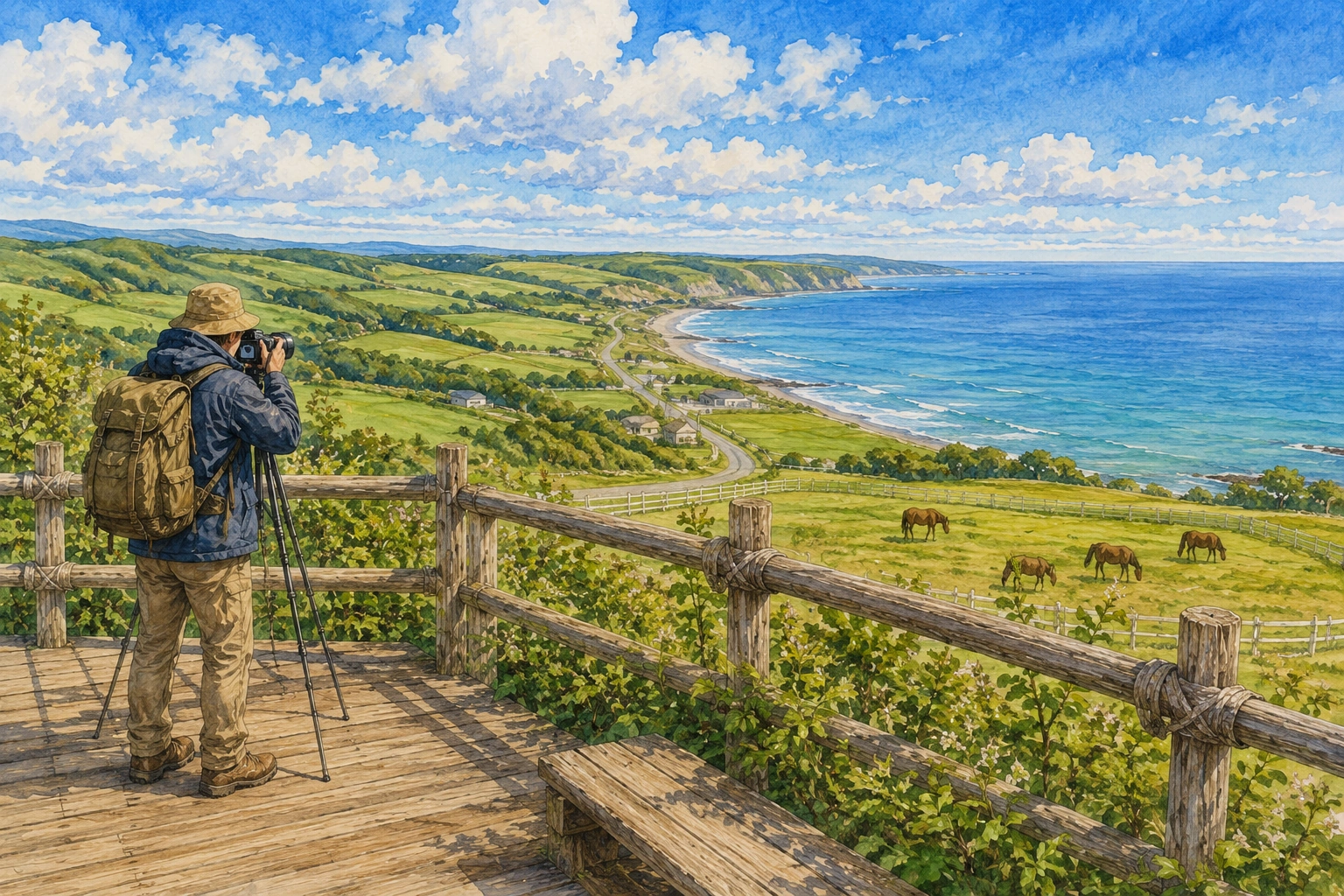
From a legally/publicly accessible place, look for differences in elevation, the distribution of mounds and the contrast with surrounding flatter land. Even with a telephoto lens, photograph only from a place that does not obstruct traffic or land use, and do not photograph people, homes or work on private property without permission.
If the feature is hard to see, do not move closer. Return to museum exhibits and official images instead. Accepting uncertainty in visibility helps protect both the Natural Monument and nearby daily life.
SECTIONDo not enter private land, mud mounds or restricted areas.
Because no official public observation point or private-property boundary is currently confirmed, the basic rule is not to enter fields, pasture, work roads, fenced areas or anything that looks like a path toward a mound. A line shown on a map app is not necessarily a public road.
Do not enter areas marked by fences, ropes or signs
Do not park at farm or work-vehicle entrances
Do not collect mud, stones or plants
Do not suddenly ask landowners or workers for access
Do not fly a drone without permission
“Only for a moment” or “just one photo” is not a reason to cross a boundary. Remove unconfirmed places from the visit plan and stay within the public information provided by the town or museum.
SECTIONCheck weather, footing and the surrounding environment.
No dedicated walking route around the mud volcanoes has been confirmed, so this guide does not recommend equipment based on approaching muddy slopes after rain. Even if a public viewing place is confirmed later, prioritize weather, road surface, traffic and agricultural work, and cancel on unsafe or disruptive days.
Do not read “along National Route 235” as meaning the shoulder is a safe viewing place. Traffic flow, no-stopping rules, visibility and snow-clearing conditions change. The driver should not search for the feature while driving; use a safe public facility to check information.
If traveling with others, agree in advance on an alternative if the site cannot be viewed. Even when the Natural Monument is the goal, define “not approaching unsafely” as part of a successful trip.
SECTIONCombine the visit with the Local History Museum.
The Niikappu Local History Museum is described as having exhibits about the Niikappu Mud Volcanoes. Looking at photographs and explanations first helps organize the mechanism, the meaning of the designation and what kind of terrain the official material refers to.
The museum also notes that exhibits may change during updates. If the mud-volcano exhibit is the main reason for visiting, confirm that the exhibit remains available, whether explanations can be provided and the museum’s open days.
For detailed museum hours and use, see the Niikappu Local History Museum guide. Here the museum is positioned as a safe learning base for understanding the mud volcanoes.
SECTIONBuild a stay around Niikappu’s natural heritage.
Do not define success as seeing the mud mounds at close range. Combine the Local History Museum, regional history and publicly accessible natural scenery. Even if an on-site observation cannot be confirmed, learning the geology at the museum and visiting another public facility the next day still gives meaningful contact with Niikappu’s natural history without unauthorized entry.
If staying overnight, use the extra time not to add more questionable sites but to adjust the schedule to the museum’s open days and any guidance received from the town. Do not assume BASE NIIKAPPU equipment or transport; check lodging conditions on the public page or by inquiry.
When judging whether a visit is possible, treat these separately: “the location of a Natural Monument is published,” “there is a safe place to observe it,” and “the land may be freely entered.” Knowing the location does not establish a valid approach plan if the observation point, private boundary and day-of access conditions are unknown. A nearby map pin or old visitor photo is not proof of current permission.
Confirm the official name, location and geological value as a Hokkaido-designated Natural Monument
Ask Niikappu Town or the Local History Museum whether there is a currently recommended visiting method
If parking, walking route or private-property boundaries are not clearly stated, do not plan an approach
When conditions are unclear, switch to learning through museum exhibits and official materials
When photographing, do not confuse what a telephoto lens can see with where you are allowed to stand. Share with companions that the goal is not “getting close to the mud mound” but understanding the landform within public information. Protecting the Natural Monument and local traffic/living routes takes priority over getting a photo.
FROM READING TO PLANNING
Undecided details are useful planning information.
Even before dates or group size are final, we can help organize the next steps from your current conditions.REFERENCES
Reference Information
- Cultural Heritage Online: Niikappu Mud Volcanoes↗
- Niikappu Local History Museum facility guide↗
- Niikappu Eco-Museum stone-marker information↗
Last checked: 2026.08.11